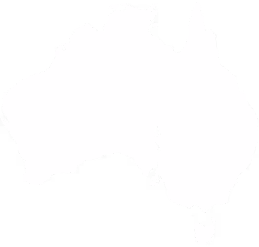
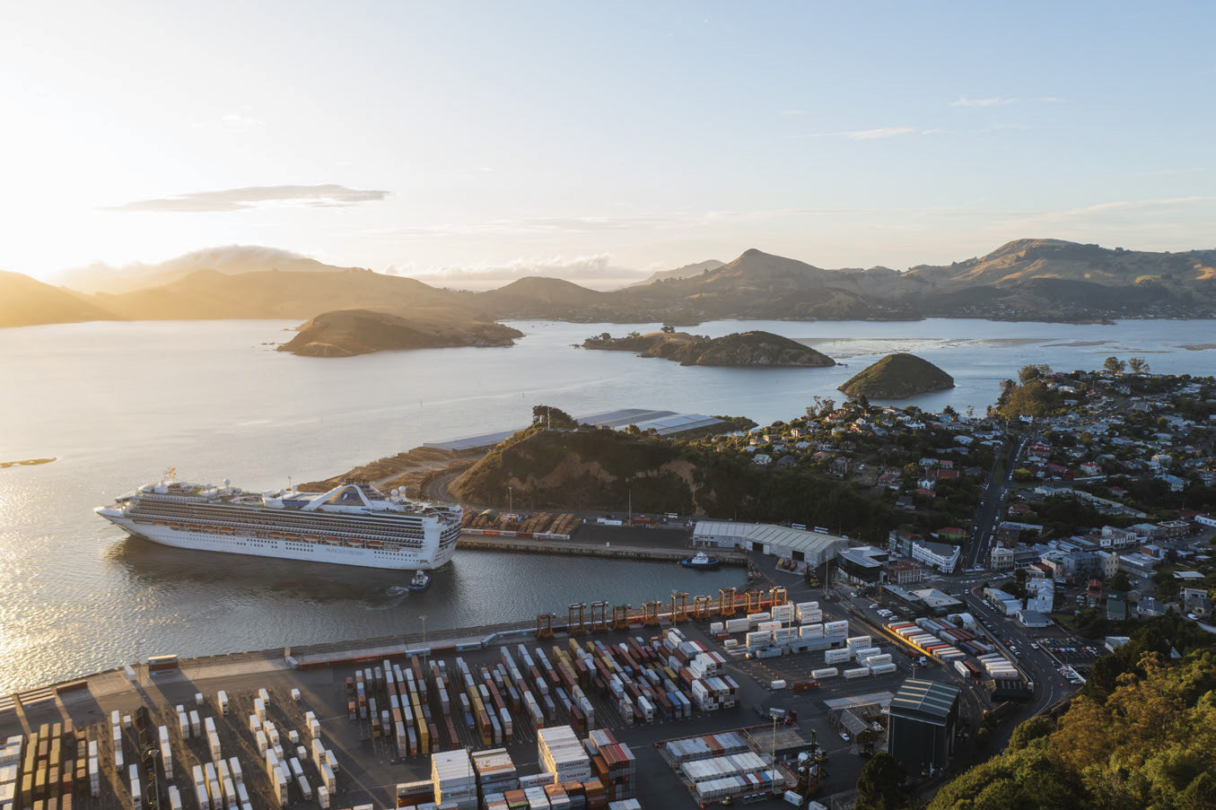
From Mountain To Sea
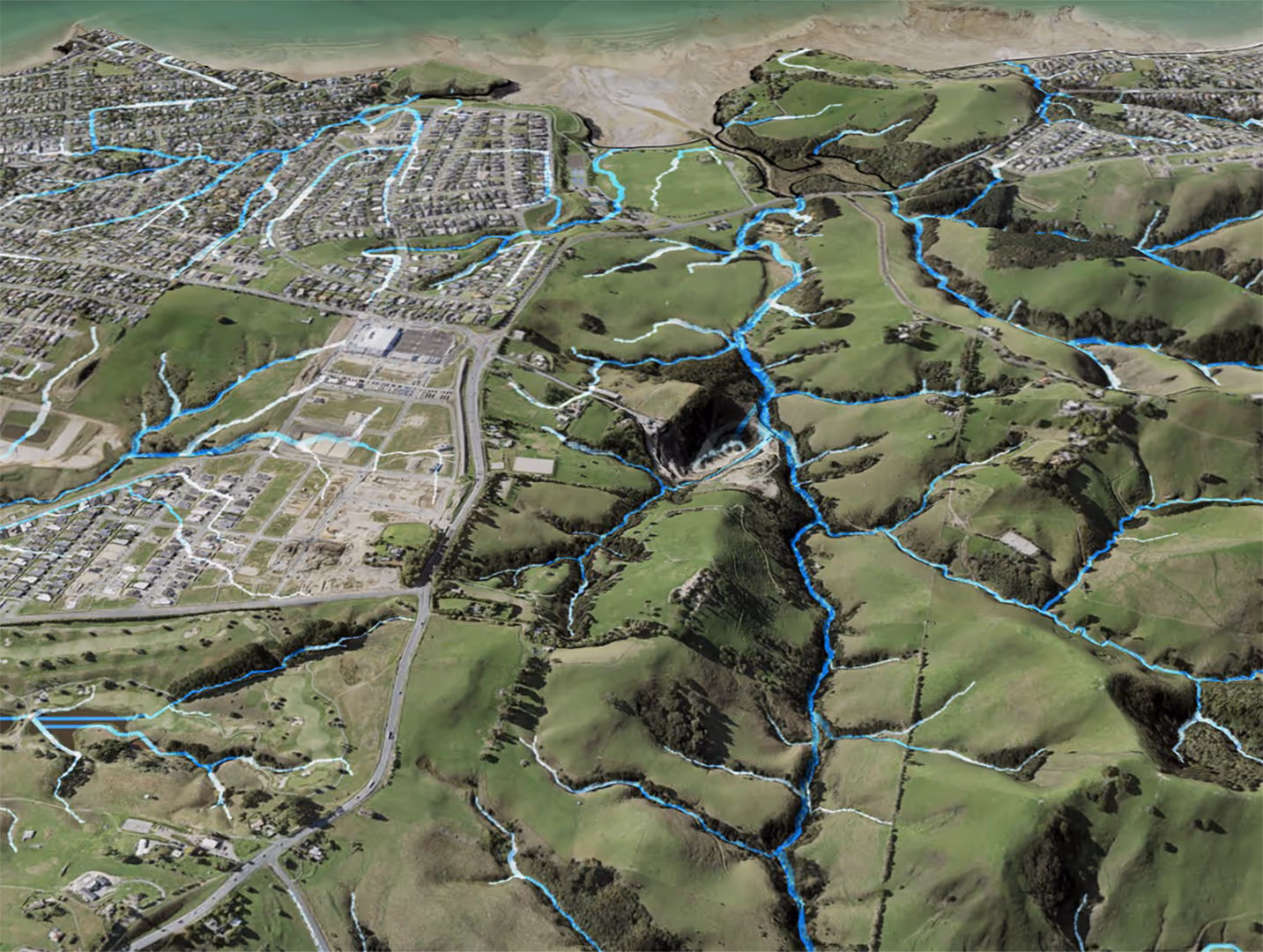
We take the time to learn the entire waterway flow path, embracing the complexity that comes with your unique catchment area.
We conduct thorough water health assessments to gather data on hydrology, geology, land use, and biodiversity, and we provide geospatial tools that communicate this information effectively.
This data informs strategies at the national, regional and local levels, creating a foundation for any future works and decisions to be tailored to the specific needs of each catchment.
.avif)


.avif)
.avif)


.jpg)
%20(Small).png)
.jpg)
.jpg)
.jpeg)
%20(Optimised).jpg)
.JPG)

.png)